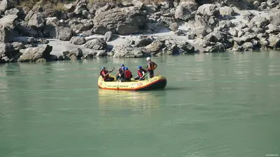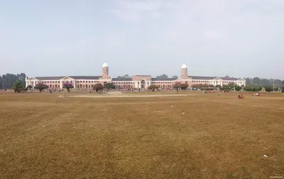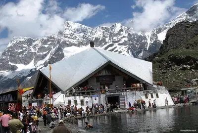
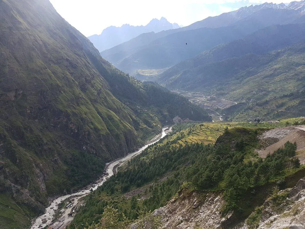
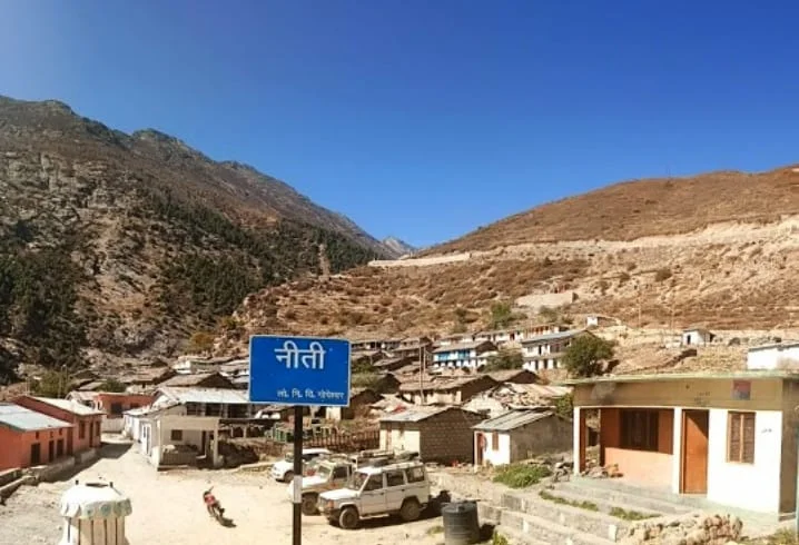
Niti Valley is a remote, high valley in Chamoli district, along the Dhauliganga river, close to the India–Tibet border. Niti village (about 3,600 m) is the last inhabited village on this route, about 85 km from Jyotirmath (Joshimath). The drive passes the Chipko village of Reni, the gateway village of Lata, and the old Bhotia village of Malari. Near Niti is Timmersain Mahadev, a cave where a natural ice Shivling forms, often called the "Amarnath of Uttarakhand". The valley is open roughly May to October; in winter it is snowbound and most villagers move down to lower villages.
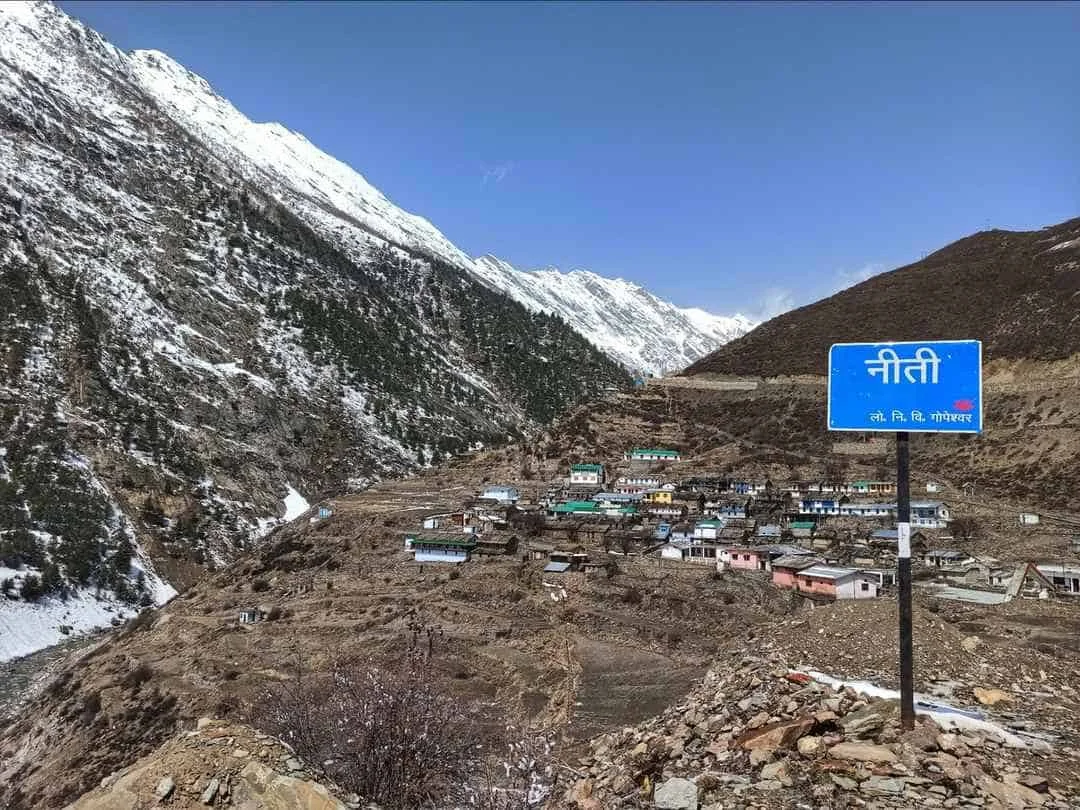
Niti Valley at a glance
| Detail | Information |
|---|---|
| District | Chamoli, Garhwal |
| Niti village altitude | About 3,600 m |
| Malari altitude | About 3,050 m |
| From Jyotirmath | About 85 km to Niti, 3.5 to 4 hours |
| From Haridwar / Rishikesh | About 360 km to Niti (via Jyotirmath) |
| Season | May to October |
| Best months | May–June and September–October |
| Permits | ID checks at ITBP/Army posts; overnight stays and some areas may need permission |
History: the old trade route to Tibet
For centuries, Niti Valley was one of the main trade routes between Garhwal and Tibet. Traders crossed the Niti Pass (above 5,000 m) with sheep and goats carrying salt, wool and borax from Tibet, and grain and goods from India. The Bhotia families of Niti, Malari and Bampa ran this trade.
After the 1962 India–China war, the border was closed and the trade stopped. The army and ITBP now guard the area, which is why visitors need ID checks and, for Niti village, permission. Today the valley is home to a small number of families who still farm and graze animals here in summer.
The route: Jyotirmath to Niti
| Stop | Approx. distance from Jyotirmath | What to see |
|---|---|---|
| Tapovan | 15 km | Natural hot springs; base for Kuari Pass trek |
| Reni | 25 km | Village of Gaura Devi and the 1974 Chipko movement |
| Lata | 28 km | Gateway to the Nanda Devi sanctuary; Nanda Devi temple |
| Suraithota and Jumma | 40–45 km | Narrow gorges and small settlements |
| Malari | 60 km | Old stone-and-wood Bhotia village; viewpoints |
| Bampa and Gamshali | 75–80 km | Bhotia villages, wide valley |
| Niti | 85 km | Last village; views towards the border ranges |
The road is built and maintained by the BRO. It is mostly good but narrow in places, with landslide zones near Tapovan and Jumma. Drive in daylight with an experienced hill driver.
Places to see in Niti Valley
Timmersain Mahadev (ice Shivling)
A cave temple between Gamshali and Niti, where water drips from the roof and freezes into a natural ice lingam, much like Amarnath. It is reached by a short walk from the road. The lingam is usually biggest in late spring and early summer, when the road has just opened, and it shrinks as the weather warms. Many devotees still come in the month of Shravan (July–August) by tradition, but the ice may be small by then and the monsoon makes the road risky. Check the current size of the lingam and road conditions before you go.
Niti village
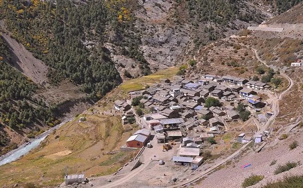
The last Indian village on this route, home to only a few dozen families in summer. They grow rajma (kidney beans), potato, buckwheat and barley, and collect medicinal herbs on the high slopes. Walk through the village slowly; this is a working farming village, not a tourist spot.
Malari
A beautiful old village with slate-roofed stone houses and carved wooden doors. Malari was an important stop on the India–Tibet trade route. Families here rear sheep and grow pulses in the short summer.
Gamshali and Bampa
High villages with fields of potato and rajma in summer, surrounded by bare, rocky mountains. The ITBP checkpost at Gamshali is about 2.5 km before Niti.
Dronagiri village and viewpoint
Dronagiri village (about 3,600 m) is linked in legend to the Ramayana: villagers believe Hanuman ji took a part of Dronagiri mountain to bring Sanjeevani booti for Lakshman. From the road you get views of Dronagiri peak. Visiting the village itself means a trek of about 10 km from Jumma, so plan a separate day for it.
Reni and the Chipko memorial
In 1974, Gaura Devi and the women of Reni hugged trees to stop them being cut, starting the famous Chipko movement. A small memorial stands here.
Tapovan hot springs
A good stop on the way back to Jyotirmath to relax in warm water. Tapovan is also the starting point for the Kuari Pass trek and the walk to Bhavishya Badri temple.
People and culture
The villages of the upper valley are home to Bhotia communities, locally also called Rongpa. In summer they live in Niti, Malari and Bampa; in winter most families move down to lower villages near Chamoli and Jyotirmath. Traditional clothes are made of thick layers of hand-woven wool, and many homes still have looms. Festivals and village fairs take place in summer, when families return.
Always ask before photographing people or their homes, and do not enter fields or temples without permission.
Permits and rules
Niti Valley is close to the border, so security rules apply:
- Niti village: you need permission from the SDM office in Jyotirmath (Joshimath). Apply in person with your ID and travel details.
- Other villages on the way, such as Lata, Reni, Malari, Kailashpur, Bampa and Gamshali, generally do not need special permission, but carry ID.
- ITBP checkpost at Gamshali, about 2.5 km before Niti: show your ID and permission.
- Overnight stays in the upper valley have been restricted in the past; ask the SDM office whether you can stay in Niti or Malari.
- Foreign nationals need special permits for border areas.
- No photography near Army or ITBP installations.
Rules change, so confirm with the SDM office, Jyotirmath, before your trip.
How to reach Niti Valley
Step 1: Reach Jyotirmath (Joshimath), about 270 km from Rishikesh on the Badrinath highway. It takes 10 to 11 hours, passing the Panch Prayag confluences: Devprayag, Rudraprayag, Karnaprayag and Nandprayag.
Step 2: Drive from Jyotirmath to Niti, about 85 km (3.5 to 4 hours).
- Nearest railway stations: Rishikesh and Haridwar
- Nearest airport: Jolly Grant, Dehradun
There is no regular public transport to Niti. Shared jeeps run from Jyotirmath to Malari on some days; for Niti, hire a taxi or SUV in Jyotirmath.
Best time to visit and weather
| Period | Day temperature | Night temperature | Conditions |
|---|---|---|---|
| November to April | Below 5°C | Down to -15°C or lower | Heavy snow; road closed beyond a point; villagers move down |
| May to June | 8 to 18°C | 0 to 5°C | Road opens; snow on peaks; villagers return; best time for the ice lingam |
| July to August | 12 to 20°C | 6 to 10°C | Monsoon rain; landslides on the Jyotirmath–Niti road; risky |
| September to October | 8 to 16°C | -2 to 5°C | Clear skies, golden fields, best views |
These are typical ranges. Niti lies in a rain-shadow area, so it gets less rain than lower Garhwal, but the road below it is badly hit by the monsoon.
Suggested itineraries
Option 1: Niti day trip with Auli (5 days)
| Day | Plan | Stay |
|---|---|---|
| 1 | Haridwar/Rishikesh to Jyotirmath | Jyotirmath |
| 2 | Auli: slopes, Gorson Bugyal walk | Auli |
| 3 | Day trip to Niti Valley: Reni, Lata, Malari, Niti, Timmersain | Jyotirmath |
| 4 | Badrinath and Mana (in season) or Tapovan hot springs | Jyotirmath |
| 5 | Drive back to Rishikesh/Haridwar | — |
Option 2: Slow Niti Valley trip with village stay (5 days)
Only if the SDM office allows an overnight stay in the valley and a homestay is confirmed.
| Day | Plan | Stay |
|---|---|---|
| 1 | Haridwar/Rishikesh to Jyotirmath | Jyotirmath |
| 2 | Narsingh Temple and Shankaracharya Math; permission at SDM office; drive to Malari | Malari / Niti homestay |
| 3 | Niti village, Timmersain Mahadev, Gamshali and Bampa | Malari / Niti homestay |
| 4 | Drive back via Reni and Tapovan hot springs; evening in Auli or Jyotirmath | Jyotirmath |
| 5 | Drive back to Rishikesh/Haridwar | — |
Auli is reached by road from Jyotirmath. The Joshimath–Auli ropeway has been shut for long periods since 2023, so check our Auli ropeway status page before planning around it. Read our Gorson Bugyal trek guide and Auli–Chopta travel guide.
Where to stay
- Jyotirmath: the best base, with many hotels.
- Auli: resorts and GMVN stays.
- Malari and Niti: a few simple homestays in season, run by village families. Rooms are basic, with shared toilets and limited power. Availability and permission vary, so confirm before you go.
What to pack
- Warm layers: thermal, fleece and a down jacket (it is cold even in June)
- Rain jacket and sturdy shoes with good grip
- Cap, sunglasses and sunscreen (the sun is strong at 3,600 m)
- Original ID, permission letter and photocopies
- Snacks, water and a packed lunch
- Personal medicines, a power bank and cash
Safety and travel tips
- Fuel: fill up in Jyotirmath; there is no pump on the route.
- Food: very few shops after Malari; carry lunch.
- Mobile signal: mostly absent after Tapovan. Tell someone your plan before you leave.
- Altitude: Niti is about 3,600 m. Walk slowly, drink plenty of water, and go down if you get a strong headache or breathlessness.
- Weather: start early; clouds and wind build after noon.
- Respect: ask before photographing people, homes or temples.
Plan your Niti Valley trip with Gokeys
We plan Niti Valley trips with Auli and Badrinath from Haridwar and Rishikesh, with drivers who know the border road. Contact us.
Call or WhatsApp us Now at +91-90459-16770, +91-78307-18687, for Niti Valley Trips from Haridwar or Rishikesh.
Last updated: October 2026