The Chopta to Auli distance is about 110–120 km by road, and the drive takes around 5 hours plus stops. The route runs Chopta → Mandal → Gopeshwar → Chamoli → Joshimath → Auli. The straight-line distance is only about 50 km, but the road has to wind around the mountains.
Most travellers on an Auli Chopta trip drive this stretch on Day 3, after the Tungnath trek. It's one of the prettiest drives on the whole trip: dense forest first, then the Alaknanda valley, then the steep climb to Auli's snow slopes.
Our drivers cover this road on every Auli Chopta tour. Here's how it breaks down, where to stop, and what changes in winter.
Why websites show different distances
Search for "Chopta to Auli distance" and you'll see numbers from about 110 km to 150 km. Here's why:
- The short route (about 110–120 km) goes through the forest from Chopta to Mandal and Gopeshwar, then up the Badrinath highway. This is the route drivers use for most of the year.
- The long route (about 220–230 km) goes back down through Ukhimath to Rudraprayag, then up the highway via Karnaprayag to Joshimath. Drivers only use it when snow closes the forest road.
- Online calculators (often 140–150 km) sometimes mix the two, or route you through Ukhimath first.
So if your plan is built on "150 km and 6–7 hours", you've probably got a longer day pencilled in than you need.
The route stage by stage
| Stage | Approx. distance | Approx. time | What to expect |
|---|---|---|---|
| Chopta → Mandal | About 24 km | About 1 hour | Narrow forest road through Kedarnath Wildlife Sanctuary, tight bends |
| Mandal → Gopeshwar | About 13 km | About 30 minutes | Descent into Chamoli's district town; fuel, ATMs, shops |
| Gopeshwar → Chamoli → Joshimath | About 57 km | About 2 hours | Joins the Badrinath highway along the Alaknanda river |
| Joshimath → Auli | About 14–16 km | 45 minutes–1 hour | Steep hairpin bends up to the slopes |
| Total | About 110–120 km | About 5 hours | Plus time for stops |
Stage 1: Chopta to Mandal
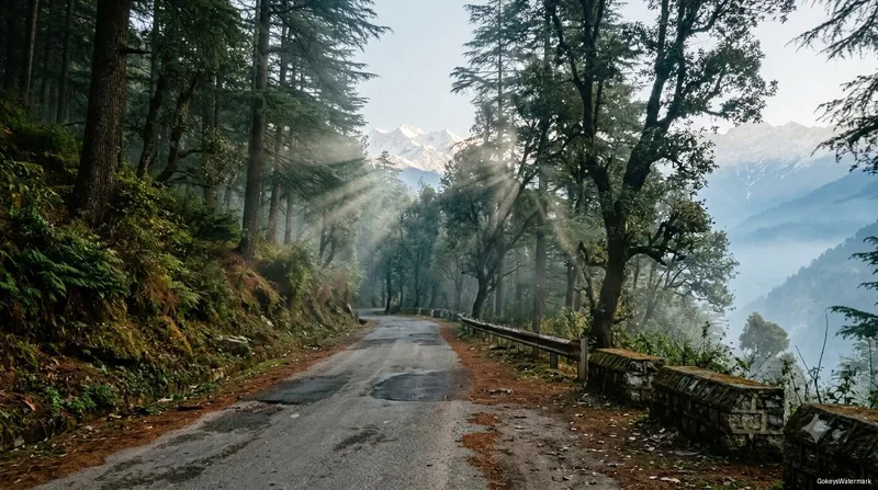
This is the slowest stretch. The road is narrow, the bends are tight, and it runs through thick forest of oak, rhododendron and deodar. Drive slowly and watch for wildlife: this is good country for spotting the Himalayan monal, Uttarakhand's colourful state bird.
Stage 2: Mandal to Gopeshwar
The road keeps dropping until you reach Gopeshwar, the headquarters of Chamoli district. It's a proper town, so this is a good place to fill up, use an ATM, or buy anything you forgot.
Stage 3: Gopeshwar to Joshimath
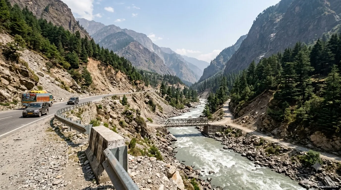
At Chamoli you join the main Badrinath highway. It's wider and faster, following the Alaknanda river upstream past Pipalkoti and Helang. Some stretches are prone to small landslides, especially after rain, so you may see road crews at work.
Stage 4: Joshimath to Auli
The final climb is short but steep, with hairpin bends all the way up to the ski slopes. In winter, this is the stretch most likely to have ice or snow.
Places to stop on the way
- Mandal: a small village with tea stalls, surrounded by forest. A good spot for a short break and some birdwatching.
- Gopinath temple, Gopeshwar: an ancient Shiva temple with a tall stone spire and a famous metal trident. It's also the winter seat of Rudranath, one of the Panch Kedar. Allow 30 minutes.
- Chamoli and Pipalkoti: the usual lunch stops, with simple dhabas serving dal, rice, roti and sabzi along the highway.
- Joshimath: home to Narsingh temple and the Jyotirmath founded by Adi Shankaracharya. This is your last big market and ATM before Auli.
Road conditions by season
| Season | Chopta–Mandal–Gopeshwar | Joshimath–Auli |
|---|---|---|
| Dec–Mar | Can close for hours or days after snow; icy mornings | Upper road can close after heavy snow |
| Apr–Jun | Good, busier on weekends | Good |
| Jul–Aug | Landslide risk on the highway; not recommended | Landslide risk below Joshimath |
| Sep–Nov | Clear and dry, the best driving season | Good |
The winter detour
After heavy snowfall, the forest road between Chopta and Mandal can stay closed for a few days. When that happens, drivers take the long way:
Chopta → Ukhimath → Rudraprayag → Karnaprayag → Chamoli → Joshimath → Auli
That's roughly 220–230 km and 8–9 hours, so the day changes completely. You'll leave early, eat lunch on the road, and reach Auli in the evening. In January and February, keep one spare day in your plan so a closure doesn't wreck your schedule. Read the best time to visit Auli Chopta to see when snow usually falls.
Tips for driving this route in winter
- Start after the ice softens. Shaded bends freeze overnight. A 8:30–9 AM start is usually safer than dawn.
- Go with a local driver. Drivers who work these roads every day know where ice forms and when to fit snow chains.
- Don't drive after dark. Hill roads are unlit, and black ice is hard to see.
- Fill up in Gopeshwar or Joshimath. There are no fuel stations on the forest stretch.
How to travel from Chopta to Auli
Private taxi (easiest)
Very few taxis wait at Chopta, so book ahead or keep the same cab for your whole trip. A cab from Haridwar for the full loop is usually the most practical and comfortable choice. Our Auli Chopta itinerary uses one cab and driver from start to finish.
Bus and shared jeep (cheapest)
In summer, a few buses run between Ukhimath and Gopeshwar via Chopta. From Gopeshwar or Chamoli, shared jeeps go to Joshimath, and local taxis take you up to Auli. It's cheap, but you'll change vehicles two or three times and timings are irregular. Plan a full day.
Self-drive
Fine from April to June and September to November for confident hill drivers. Avoid it in January and February unless you have real snow-driving experience. Use low gears on the long descents to save your brakes.
What about the ropeway?
The last stretch to Auli is by road only. The Joshimath–Auli ropeway has been closed since January 2023 (latest status).
Useful distances on this route
| From → To | Approx. distance | Approx. time |
|---|---|---|
| Haridwar → Chopta (via Ukhimath) | About 225 km | 7–8 hours |
| Haridwar → Auli | About 270–280 km | 9–10 hours |
| Rishikesh → Chopta | About 205 km | 7–8 hours |
| Ukhimath → Chopta | About 29 km | 1–1.5 hours |
| Chopta → Gopeshwar | About 37 km | About 1.5 hours |
| Joshimath → Badrinath | About 45 km | About 1.5 hours |
| Delhi → Haridwar | About 210–220 km | 5–6 hours |
The nearest railway stations are Haridwar and Rishikesh (Yog Nagari). The nearest airport is Jolly Grant in Dehradun.
Trying to choose between the two places? Read Auli vs Chopta. For the full trip, see our Auli Chopta travel guide.
Leave the driving to us
Don't want to juggle taxis and road closures? Our Auli Chopta trip from Haridwar includes this drive with an experienced mountain driver. Call or WhatsApp +91-90459-6770, +91-78307-18687.