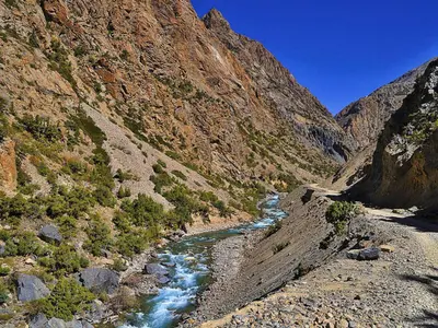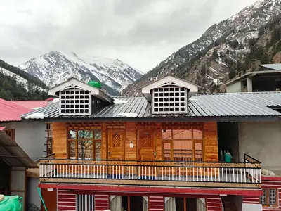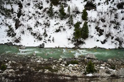
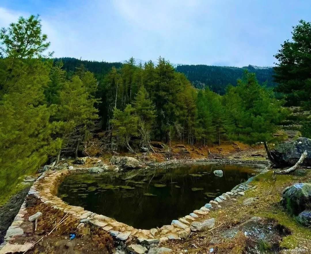
Most people who come up the Bhagirathi valley are heading somewhere else. They pass through Harsil with a glance at the deodars, buy a cup of tea, and drive on. Those who stop and look up the hillside above Dharali will find a footpath going into the forest, and at the end of it a scatter of small, still lakes that most visitors never see. That is Sattal, the "seven lakes", and it is one of the gentlest and most rewarding walks in the valley.
It is not a famous trek, and it does not need to be. There is no summit and no dramatic pass. What you get is a few hours of walking through orchards and old forest, birdsong, cool air, and the quiet of a place where the only noise is wind in the trees. If you have a free half-day in Harsil and the weather is clear, this is how we would spend it.
In this guide: The lakes · The trail · Permit · When to go · Fitness · What to carry · A sample day · Mistakes · FAQs
What Sattal actually is
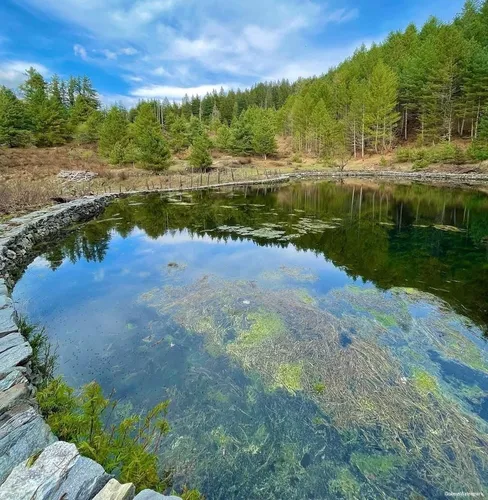
Sattal is a cluster of small high-altitude lakes in the forest above Dharali, at roughly 3,000 m (to be confirmed by GPS). Local accounts name them as Mirdunga Tal, Chadgiya Tal, Dawariya Tal, Bamniya Tal, Rikh Tal, Ghandoliya Tal and Sankhghata Tal.
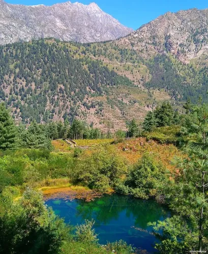
A word of honest expectation. These are not large lakes like Nainital or Bhimtal. They are small ponds set among trees, and some are hard to spot, especially late in the season when the water level falls. People who arrive expecting one big blue lake sometimes feel let down. People who arrive expecting a quiet forest walk with water at the end of it usually go home happy.
The walk from Dharali
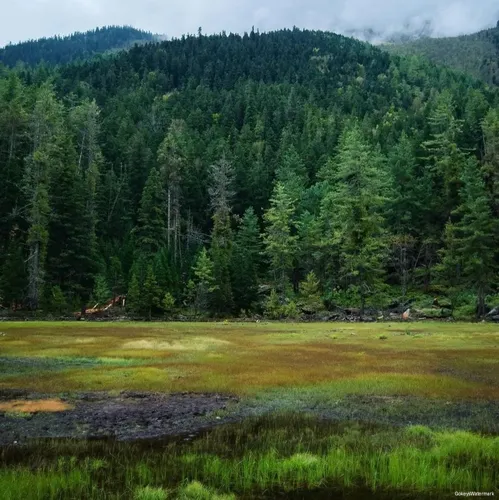
The trail starts at Dharali, a village of apple orchards a short drive up the valley from Harsil. From the last houses, a footpath rises through terraced fields and then into mixed forest of deodar, oak and pine. The first stretch is the steepest. After that the path settles into a steady climb with a few open patches where you can turn around and see the Bhagirathi valley opening out below you. In spring there are rhododendrons and wildflowers; in autumn the apple trees in the lower fields are heavy with fruit.
How far is it? That depends on whom you ask. Different sources describe the route as about 5 km round trip, others say 7 km, and some say 3 km from Harsil by road before the trek begins but the actual trek takes about 4-5 hours to complete to and fro. The truth is that it depends on where you start counting and how many of the lakes you visit. We suggest planning three to five hours for the whole outing, including rests and time at the water.
You come back the same way. Go down slowly; the loose soil and fallen needles on the descent are more slippery than they look.
Permit and rules
Sattal sits within forest and protected-area limits, so you need a permit before you start walking. A fee of around ₹123.07 per person has been reported through the Uttarkashi administration's single-window system, but fees and processes change, so confirm before you travel. If you book through Gokeys we arrange this for you.
A few things to bring and observe:
- Carry a photo ID. Harsil is a border and army area and identity is checked at several points on the road.
- Stay on the marked route and keep to the Forest Department's rules: no fires, no loud music, no littering.
- Take every wrapper and bottle back down with you.
When to go
The walk is at its best in April to June and again from late September to early November. In spring the trail is clear, the days are long and the orchards flower. In autumn the air is crisp, the light is golden, and Dharali is in the middle of the apple harvest. See our apple season guide if you want to time the walk with the fruit.
Avoid July and August. Rain makes the path slippery, leeches and mud appear, and clouds hide the views. Avoid winter too: snow and ice cover the trail, the days are short, and permits may not be issued.
If you are deciding which month suits the whole trip, our best time to visit Harsil guide compares every season.
How hard is it?
For most reasonably fit adults, the walk is easy to moderate. There are no technical sections and no exposed edges. It is the climb and the altitude that make it feel harder than the distance suggests. Harsil sits at about 2,600 m, and the lakes are higher, so take the first day in the valley gently before attempting it.
Children who are used to walking, and older visitors who walk regularly, can do it at an unhurried pace. If you have heart, breathing or knee problems, speak to your doctor first. The walk is better done as the second or third day of your stay, not the first.
What to carry
You don't need technical gear, but you do need the basics:
- Sturdy shoes with proper grip; wet leaves and soil are slippery.
- One to one and a half litres of water and a packed lunch or snacks.
- A light rain jacket and a warm layer, because the weather turns quickly in the forest.
- Hat, sunglasses and sunscreen.
- Your permit and ID.
- A small first-aid kit and any personal medicines.
- Binoculars if you enjoy birds.
- A power bank. Mobile coverage is patchy.
A sample day
We suggest an early start. By afternoon the clouds often build and the light fades quickly under the trees.
| Time | What happens |
|---|---|
| 6:30 | Breakfast at your stay in Harsil |
| 7:30 | Drive to Dharali; permit check |
| 8:00 | Begin walking |
| 10:30 | Reach the lakes; rest, eat, take photographs |
| 11:30 | Start back down |
| 1:00 | Back at Dharali for lunch |
| 2:30 | Return to Harsil; free afternoon |
Mistakes we see visitors make
Starting late, so you rush down in fading light. Skipping the permit and being turned back at the checkpoint. Wearing smooth-soled sneakers. Carrying too little water. Planning the trek in monsoon or snow. And expecting a single big lake instead of enjoying the walk.
Making a day of it
Sattal pairs well with a slow afternoon in Dharali's orchards and a visit to Mukhba the next morning. If you have another day, the Gartang Gali walkway is the valley's other classic outing, and our treks overview compares every walk. For a full plan, see the Harsil itinerary guide or the Harsil tour package.