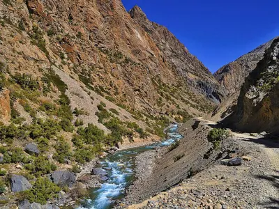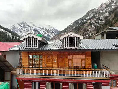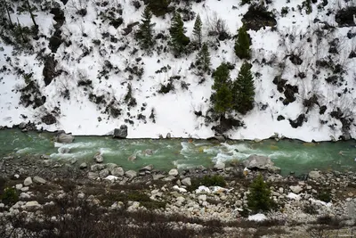
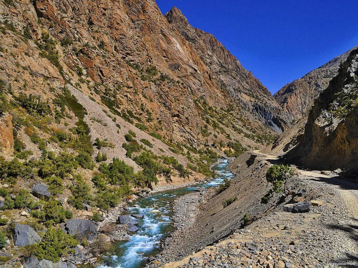
Harsil is not a trekking town in the way Manali or Joshimath are. It has no trekking agencies on every corner and no rush at dawn to catch a trailhead bus. What it has instead is a handful of walks that fit neatly into a few days: a short climb to a viewpoint, a gentle forest trail to a group of lakes, a wooden walkway cut into a cliff, and long, quiet strolls between orchards and wooden villages. For most visitors, that is exactly the right amount.
For those who want more, the valley is also a starting point for serious routes into the high Himalaya. This guide separates the two honestly, so you can choose the kind of walking that suits you.
In this guide: At a glance · Lama Top · Sattal · Gartang Gali · Village walks · Birdwatching · Bigger routes · By season · Safety · FAQs
The walks at a glance
| Walk | Distance and time | Difficulty | Permit | Best months |
|---|---|---|---|---|
| Lama Top | Sources give 2 km (1–1.5 h) and 5 km round trip (2–3 h) | Easy to moderate | Usually not | Mar–Nov |
| Sattal | 5–7 km total, about 3–5 h | Easy to moderate | Yes | Apr–Jun, Oct–Nov |
| Gartang Gali | About 5 km round trip, 2–3 h, plus a drive of about 16 km | Easy but exposed | Yes | Apr–Nov |
| Village and orchard walks | 1–3 km | Easy | No | Year-round except heavy snow |
| Nelang valley | Day visit by road | N/A | Inner Line Permit | May–Oct |
Lama Top
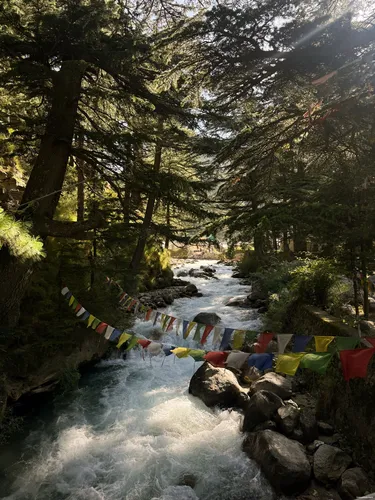
Lama Top is the classic Harsil viewpoint. The path climbs from the village (it is often described as starting from Bagori) through dense conifer forest, with colourful prayer flags marking parts of the route, to a ridge at around 2,900–3,000 m. From the top you look over the whole valley, the Bhagirathi curling through its floor, and the twin peaks known as the Horns of Harsil.
The distance depends on whom you ask: 2 km and an hour to an hour and a half on our current package page, 5 km round trip and two to three hours in other guides. Walk it, time it and use your own number. Go in clear weather. The path is slippery in snow.
Sattal
A cluster of small lakes in the forest above Dharali, reached by a gentle climb through orchards and woodland. Read the full Sattal trek guide.
Gartang Gali
A historic wooden walkway on a cliff above the Jadh Ganga gorge, reopened in 2021. See the Gartang Gali guide.
Village and orchard walks
The simplest trek in Harsil needs no boots at all. Walk the riverside path toward Dharali, or take the forest trail between Harsil and Bagori. Stop to watch the apple pickers in autumn, or to look at the carved woodwork on village houses. These unhurried walks are often what people remember best. See Bagori, Mukhba and apple season.
Birdwatching and nature walks
The Gangotri landscape, which includes the Harsil valley, has been surveyed for birds and butterflies. A published assessment reports over 200 bird species and many butterflies in the wider landscape and describes the valley as an Important Bird Area and a breeding site for the Ibisbill.
Early morning along the Bhagirathi is the best time. Look for the Himalayan monal, wagtails and redstarts along the river and forest edge. Bring binoculars, walk quietly and keep a respectful distance. Larger animals such as musk deer, black bear and snow leopard live in the region, but sightings are rare and you should not expect them.
Bigger routes in the region
These are not day walks. They need guides, permits, acclimatisation and good fitness, and we offer them only through trained partners.
The best known from this valley is the Lamkhaga Pass crossing to Chitkul in Himachal Pradesh, a demanding high-pass route for experienced trekkers. Other well-known Uttarkashi treks, such as Dayara Bugyal (starting at Barsu, reported about 32 km from Harsil) and Dodital, begin on the Uttarkashi side rather than in the Harsil valley, while Kedartal and Gaumukh start from the Gangotri side. If you want a serious trek, talk to a certified mountain guide and the Forest Department first.
Walking through the seasons
In winter only short snow walks near the village are sensible; Sattal and Gartang Gali are closed. Spring brings Lama Top, Sattal and Gartang Gali as they open. Monsoon is best avoided. Autumn is the best season for all the easy walks, with the finest light.
Fitness and safety
Start early, carry water and rain gear, and tell someone your route because the network is patchy. Hire local guides for Sattal, Gartang Gali and anything above the tree line. Carry photo ID, since Harsil is a border and army area. Rest on arrival: Harsil is at about 2,600 m, and altitude effects are rare but possible. Don't go out alone in poor weather, and take all litter back with you. For help with timing, see best time to visit Harsil, and for a ready plan the Harsil tour package.